| dbo:abstract
|
- عوجة الحفير (أيضا العوجة)، كان تقاطع طريق قديم بالقرب من آبار المياه في النقب الغربي وشرق سيناء، وكانت أرض المراعي التقليدية لقبيلة العزازمة، كما كان المعبر الحدودي بين مصر وفلسطين العثمانية / البريطانية على بعد حوالي 60 كيلومتر (37 ميل) جنوب غزة موجودًا هناك. اليوم هو موقع وقاعدة كتسيعوت العسكرية في المنطقة الجنوبية. (ar)
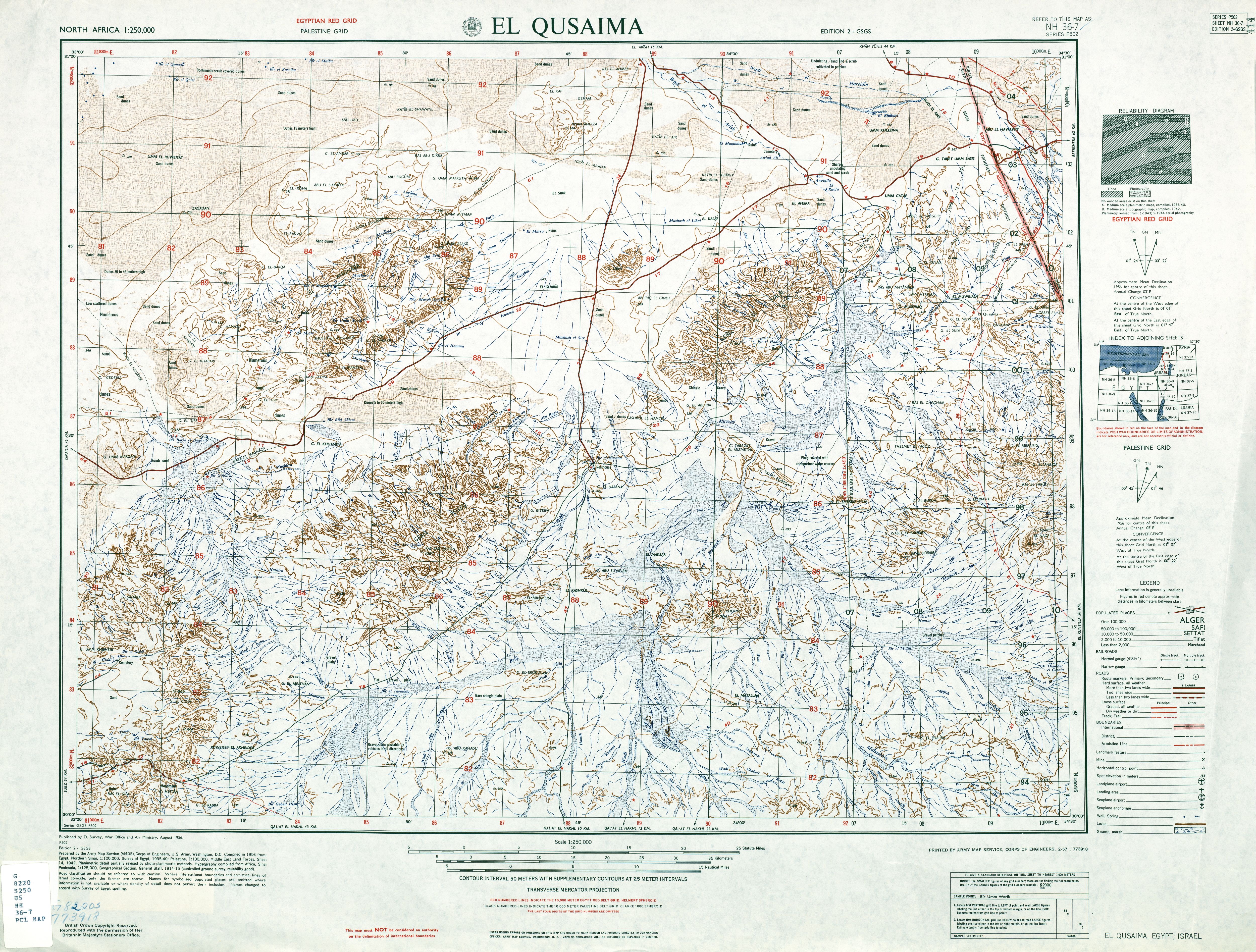
- Auja al-Hafir (Arabic: عوجة الحفير, also Auja), was an ancient road junction close to water wells in the western Negev and eastern Sinai. It was the traditional grazing land of the 'Azazme tribe. The border crossing between Egypt and Ottoman/British Palestine, about 60 km (37 mi) south of Gaza, was situated there. Today it is the site of Nitzana and the Ktzi'ot military base in the Southern District of Israel. (en)
- Auja al-Hafir (en arabe : عوجة الحفير, ou simplement Auja), était un ancien carrefour routier proche de puits d’eau dans le Néguev occidental en Palestine mandataire. C'était un lieu de pâturage traditionnel de la tribu , La frontière entre l’ Égypte et la Palestine ottomane/britannique, à environ 60 km au sud de Gaza, se trouvait là. Aujourd'hui, et la s'élèvent sur ce site. (fr)
- Auja al-Hafir (bahasa Arab: عوجة الحفير, juga Auja), adalah sebuah persimpangan jalan raya kuno yang dekat dengan sumur-sumur air di barat Negev dan timur Sinai. Tempat tersebut adalah tanah tradisional dari suku . Perlintasan batas antara Mesir dan Utsmaniyah/Palestina Britania, yang berjarak sekitar 60 km (37 mi) dari selatan Gaza, berada di tempat ini. Saat ini, tempat tersebut adalah situs dan di Distrik Selatan Israel. (in)
- Audża al-Hafir (arab. عوجا حفير) – nieistniejąca już arabska wieś, która była położona w Dystrykcie Beer Szewy w Mandacie Palestyny. Wieś została wyludniona i zniszczona podczas I wojny izraelsko-arabskiej (al-Nakba), po ataku Sił Obronnych Izraela w dniu 27 grudnia 1948. (pl)
|
| dbo:country
| |
| dbo:foundingDate
| |
| dbo:populationTotal
|
- 48 (xsd:nonNegativeInteger)
|
| dbo:subdivision
| |
| dbo:synonym
| |
| dbo:thumbnail
| |
| dbo:wikiPageExternalLink
| |
| dbo:wikiPageID
| |
| dbo:wikiPageLength
|
- 14198 (xsd:nonNegativeInteger)
|
| dbo:wikiPageRevisionID
| |
| dbo:wikiPageWikiLink
| |
| dbp:blank3InfoSec
| |
| dbp:blank3NameSec
| |
| dbp:blankInfoSec
|
- Military assault by Yishuv forces (en)
|
| dbp:blankNameSec
|
- Cause of depopulation (en)
|
| dbp:establishedDate
| |
| dbp:establishedTitle
|
- Date of depopulation (en)
- Repopulated dates (en)
|
| dbp:gridName
| |
| dbp:imageSkyline
|
- Al Auja before 1956.jpg (en)
|
| dbp:imagesize
| |
| dbp:name
| |
| dbp:nativeName
| |
| dbp:nativeNameLang
| |
| dbp:otherName
| |
| dbp:populationTotal
| |
| dbp:pushpinMapsize
| |
| dbp:subdivisionName
| |
| dbp:subdivisionType
| |
| dbp:wikiPageUsesTemplate
| |
| dcterms:subject
| |
| gold:hypernym
| |
| georss:point
|
- 30.874166666666667 34.43694444444444
|
| rdf:type
| |
| rdfs:comment
|
- عوجة الحفير (أيضا العوجة)، كان تقاطع طريق قديم بالقرب من آبار المياه في النقب الغربي وشرق سيناء، وكانت أرض المراعي التقليدية لقبيلة العزازمة، كما كان المعبر الحدودي بين مصر وفلسطين العثمانية / البريطانية على بعد حوالي 60 كيلومتر (37 ميل) جنوب غزة موجودًا هناك. اليوم هو موقع وقاعدة كتسيعوت العسكرية في المنطقة الجنوبية. (ar)
- Auja al-Hafir (Arabic: عوجة الحفير, also Auja), was an ancient road junction close to water wells in the western Negev and eastern Sinai. It was the traditional grazing land of the 'Azazme tribe. The border crossing between Egypt and Ottoman/British Palestine, about 60 km (37 mi) south of Gaza, was situated there. Today it is the site of Nitzana and the Ktzi'ot military base in the Southern District of Israel. (en)
- Auja al-Hafir (en arabe : عوجة الحفير, ou simplement Auja), était un ancien carrefour routier proche de puits d’eau dans le Néguev occidental en Palestine mandataire. C'était un lieu de pâturage traditionnel de la tribu , La frontière entre l’ Égypte et la Palestine ottomane/britannique, à environ 60 km au sud de Gaza, se trouvait là. Aujourd'hui, et la s'élèvent sur ce site. (fr)
- Auja al-Hafir (bahasa Arab: عوجة الحفير, juga Auja), adalah sebuah persimpangan jalan raya kuno yang dekat dengan sumur-sumur air di barat Negev dan timur Sinai. Tempat tersebut adalah tanah tradisional dari suku . Perlintasan batas antara Mesir dan Utsmaniyah/Palestina Britania, yang berjarak sekitar 60 km (37 mi) dari selatan Gaza, berada di tempat ini. Saat ini, tempat tersebut adalah situs dan di Distrik Selatan Israel. (in)
- Audża al-Hafir (arab. عوجا حفير) – nieistniejąca już arabska wieś, która była położona w Dystrykcie Beer Szewy w Mandacie Palestyny. Wieś została wyludniona i zniszczona podczas I wojny izraelsko-arabskiej (al-Nakba), po ataku Sił Obronnych Izraela w dniu 27 grudnia 1948. (pl)
|
| rdfs:label
|
- Auja al-Hafir (en)
- عوجة الحفير (ar)
- Auja al-Hafir (fr)
- Auja al-Hafir (in)
- Audża al-Hafir (pl)
|
| owl:sameAs
| |
| geo:geometry
|
- POINT(34.436943054199 30.874166488647)
|
| geo:lat
| |
| geo:long
| |
| prov:wasDerivedFrom
| |
| foaf:depiction
| |
| foaf:isPrimaryTopicOf
| |
| foaf:name
| |
| is dbo:birthPlace
of | |
| is dbo:wikiPageDisambiguates
of | |
| is dbo:wikiPageRedirects
of | |
| is dbo:wikiPageWikiLink
of | |
| is dbp:birthPlace
of | |
| is foaf:primaryTopic
of | |


