| dbo:abstract
|
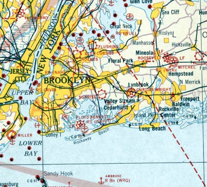
- Columbia Field, originally Curtiss Field, is a former airfield near Valley Stream within the Town of Hempstead on Long Island, New York. Between 1929 and 1933 it was a public airfield named Curtiss Field after the Curtiss-Wright aircraft corporation that owned it. The public airfield closed after 1933, but aircraft continued to be manufactured there primarily by Columbia Aircraft Corporation, which gave the private airfield its name. During its five years of operation, Curtiss Field was one of the busiest airports on Long Island. The airfield was popular with many of the famous pilots of the early days of aviation including Charles Lindbergh, Amelia Earhart, and Frank Hawks. Several important long-distance aviation records or events were marked at the airfield. In 1929 the women's aviation group the Ninety Nines was founded at the airfield, and large airshows were often held there. After 1933 the airfield was the site of aviation manufacturing by Columbia Aircraft and Grumman. During World War II Columbia manufactured the Grumman-designed J-2F6 Duck, a single-engine amphibious biplane, under contract. The airfield was finally abandoned in 1947. The Town of Hempstead gave formal recognition to the historical importance of Curtiss Field in 2009. (en)
|
| dbo:city
| |
| dbo:wikiPageExternalLink
| |
| dbo:wikiPageID
| |
| dbo:wikiPageLength
|
- 14775 (xsd:nonNegativeInteger)
|
| dbo:wikiPageRevisionID
| |
| dbo:wikiPageWikiLink
| |
| dbp:built
| |
| dbp:cityServed
| |
| dbp:imageWidth
| |
| dbp:name
| |
| dbp:nativename
| |
| dbp:occupants
|
- Advance Aircraft Corporation, Curtiss-Wright, Grumman, Columbia Aircraft Corporation, Commonwealth Aircraft (en)
|
| dbp:pushpinLabel
| |
| dbp:pushpinLabelPosition
| |
| dbp:pushpinMap
|
- USA New York#USA New York Long Island (en)
|
| dbp:pushpinMapCaption
|
- Columbia Field, New York (en)
|
| dbp:pushpinMapsize
| |
| dbp:used
|
- Columbia Field 1933-1947. (en)
- Curtiss Field 1929-1933, (en)
- Rogers Field 1928-1929, (en)
|
| dbp:wikiPageUsesTemplate
| |
| dcterms:subject
| |
| georss:point
|
- 40.666666666666664 -73.71666666666667
|
| rdf:type
| |
| rdfs:comment
|
- Columbia Field, originally Curtiss Field, is a former airfield near Valley Stream within the Town of Hempstead on Long Island, New York. Between 1929 and 1933 it was a public airfield named Curtiss Field after the Curtiss-Wright aircraft corporation that owned it. The public airfield closed after 1933, but aircraft continued to be manufactured there primarily by Columbia Aircraft Corporation, which gave the private airfield its name. (en)
|
| rdfs:label
| |
| owl:sameAs
| |
| geo:geometry
|
- POINT(-73.716667175293 40.666667938232)
|
| geo:lat
| |
| geo:long
| |
| prov:wasDerivedFrom
| |
| foaf:isPrimaryTopicOf
| |
| foaf:name
|
- Columbia Field (en)
- Curtiss Field (en)
|
| is dbo:wikiPageRedirects
of | |
| is dbo:wikiPageWikiLink
of | |
| is foaf:primaryTopic
of | |


