| dbo:abstract
|
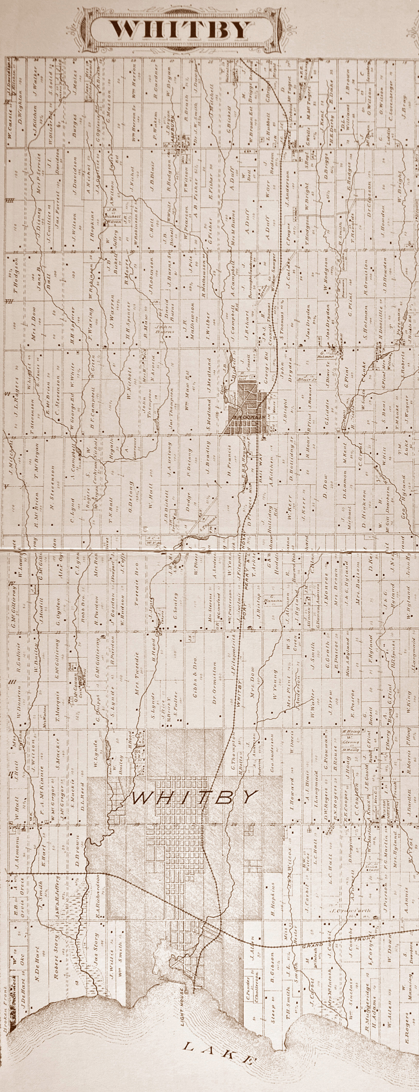
- Ashburn is a hamlet in the town of Whitby, Durham Region, Ontario, Canada, located approximately 15 kilometres north of the town core, and centred on the intersection of Ashburn Road and Myrtle Road. It is a rural settlement area on the Oak Ridges Moraine, situated on the headwaters of the Lynde Creek watershed and part of Ontario's protected Golden Horseshoe Greenbelt. (en)
|
| dbo:country
| |
| dbo:elevation
| |
| dbo:politicalLeader
| |
| dbo:postalCode
| |
| dbo:subdivision
| |
| dbo:thumbnail
| |
| dbo:timeZone
| |
| dbo:utcOffset
| |
| dbo:wikiPageExternalLink
| |
| dbo:wikiPageID
| |
| dbo:wikiPageLength
|
- 33829 (xsd:nonNegativeInteger)
|
| dbo:wikiPageRevisionID
| |
| dbo:wikiPageWikiLink
|
- dbr:Canada
- dbr:Prince_Andrew,_Duke_of_York
- dbr:Provinces_and_territories_of_Canada
- dbr:National_Topographic_System
- dbr:Regional_Municipality_of_Durham
- dbr:Uxbridge,_Ontario
- dbr:Via_Rail
- dbr:Councillor
- dbr:Geographical_Names_Board_of_Canada
- dbr:Oak_Ridges_Moraine
- dbr:Oak_Ridges_Moraine_Conservation_Act
- dbr:Redside_dace
- dbr:England
- dbr:Myrtle,_Ontario
- dbr:Myrtle_Station,_Ontario
- dbr:Orange_Order_in_Canada
- dbr:House_numbering
- dbr:Trans-Canada_Highway
- dbr:Brooklin,_Ontario
- dbr:Brougham,_Ontario
- dbr:Transport_Canada
- dbr:Whitby,_Ontario
- dbr:Dressage
- dbr:Adrienne_Clarkson
- dbr:Eastern_Daylight_Time
- dbr:Regional_municipality
- dbr:Greenbelt_(Golden_Horseshoe)
- dbr:Ashbourne,_Derbyshire
- dbr:Lake_Ontario
- dbr:Lake_Scugog
- dbc:Neighbourhoods_in_Whitby,_Ontario
- dbr:Pickering,_Ontario
- dbr:Pickering_Airport
- dbr:Port_Whitby_and_Port_Perry_Railway
- dbr:Greater_Toronto_Airports_Authority
- dbr:Ontario
- dbr:Ontario_Highway_12
- dbr:Ontario_Highway_401
- dbr:Ontario_Highway_7
- dbr:Canada_Day
- dbr:Mayor
- dbr:Canadian_postal_code
- dbr:List_of_L_postal_codes_of_Canada
- dbr:Para-equestrian
- dbr:Whitby_Township,_Ontario
- dbr:Port_Perry,_Ontario
- dbr:North_American_Eastern_Time_Zone
- dbr:Area_codes_905_and_289
- dbr:William_G._Davis
- dbr:Highway_407
- dbr:File:Ashburn-Whitby_Township-Ontario-T...ty_of_Ontario_Toronto_Beers_1877..JPG
- dbr:File:Burns_Presbyterian_Church_Ashburn_Ontario_renovation_2012.jpg
- dbr:File:James_Matthewson_House,_built_1864,_7143_Ashburn_Rd.,_Ashburn,_Ontario.jpg
|
| dbp:areaCodes
| |
| dbp:blank1Info
| |
| dbp:blank1Name
| |
| dbp:blankInfo
| |
| dbp:blankName
| |
| dbp:elevationM
| |
| dbp:establishedDate
|
- 1832 (xsd:integer)
- 1850 (xsd:integer)
- 1968 (xsd:integer)
|
| dbp:establishedTitle
|
- Amalgamation with Town of Whitby (en)
- Ashburn (en)
- Butler's Corners (en)
|
| dbp:governmentType
| |
| dbp:leaderName
|
- Pat Perkins (en)
- Tracy Hanson (en)
|
| dbp:leaderTitle
| |
| dbp:officialName
| |
| dbp:postalCode
| |
| dbp:postalCodeType
| |
| dbp:settlementType
|
- Unincorporated community (en)
|
| dbp:subdivisionName
| |
| dbp:subdivisionType
| |
| dbp:timezone
| |
| dbp:timezoneDst
| |
| dbp:utcOffset
| |
| dbp:utcOffsetDst
| |
| dbp:wikiPageUsesTemplate
| |
| dcterms:subject
| |
| gold:hypernym
| |
| georss:point
|
- 44.0025 -78.99527777777777
|
| rdf:type
| |
| rdfs:comment
|
- Ashburn is a hamlet in the town of Whitby, Durham Region, Ontario, Canada, located approximately 15 kilometres north of the town core, and centred on the intersection of Ashburn Road and Myrtle Road. It is a rural settlement area on the Oak Ridges Moraine, situated on the headwaters of the Lynde Creek watershed and part of Ontario's protected Golden Horseshoe Greenbelt. (en)
|
| rdfs:label
| |
| owl:sameAs
| |
| geo:geometry
|
- POINT(-78.995277404785 44.002498626709)
|
| geo:lat
| |
| geo:long
| |
| prov:wasDerivedFrom
| |
| foaf:depiction
| |
| foaf:isPrimaryTopicOf
| |
| foaf:name
| |
| is dbo:wikiPageDisambiguates
of | |
| is dbo:wikiPageWikiLink
of | |
| is foaf:primaryTopic
of | |


