| dbo:abstract
|
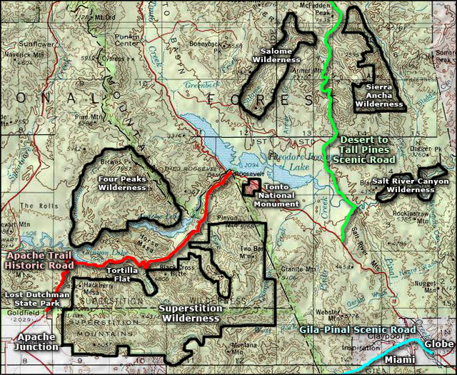
- The Tonto Basin, also known as Pleasant Valley, covers the main drainage basin of Tonto Creek and its tributaries in central Arizona, at the southwest of the Mogollon Rim, the higher elevation transition zone across central and eastern Arizona. Although the word tonto means silly or foolish in Spanish, this place name is derived from the Apache word, Koun’nde, which means wild, rough people and refers to the indigenous Dilzhe’e Tonto Apache. Tonto Basin is mostly north-south trending and outflows into the Salt River at the extensive canyon reservoir called Theodore Roosevelt Lake. Arizona Route 188 traverses the lower Tonto Basin on the southwest side of Theodore Roosevelt Lake; it then merges at the water divide northeast of the Mazatzals, with State route 87 which proceeds to Payson and further to Kohls Ranch and Christopher Creek at the basin headwaters at the foot of the Mogollon Rim. (en)
|
| dbo:thumbnail
| |
| dbo:wikiPageExternalLink
| |
| dbo:wikiPageID
| |
| dbo:wikiPageLength
|
- 2720 (xsd:nonNegativeInteger)
|
| dbo:wikiPageRevisionID
| |
| dbo:wikiPageWikiLink
| |
| dbp:wikiPageUsesTemplate
| |
| dcterms:subject
| |
| schema:sameAs
| |
| georss:point
| |
| rdf:type
| |
| rdfs:comment
|
- The Tonto Basin, also known as Pleasant Valley, covers the main drainage basin of Tonto Creek and its tributaries in central Arizona, at the southwest of the Mogollon Rim, the higher elevation transition zone across central and eastern Arizona. Although the word tonto means silly or foolish in Spanish, this place name is derived from the Apache word, Koun’nde, which means wild, rough people and refers to the indigenous Dilzhe’e Tonto Apache. Tonto Basin is mostly north-south trending and outflows into the Salt River at the extensive canyon reservoir called Theodore Roosevelt Lake. (en)
|
| rdfs:label
| |
| owl:sameAs
| |
| geo:geometry
|
- POINT(-111.29457855225 33.83171081543)
|
| geo:lat
| |
| geo:long
| |
| prov:wasDerivedFrom
| |
| foaf:depiction
| |
| foaf:isPrimaryTopicOf
| |
| is dbo:place
of | |
| is dbo:wikiPageDisambiguates
of | |
| is dbo:wikiPageRedirects
of | |
| is dbo:wikiPageWikiLink
of | |
| is dbp:place
of | |
| is foaf:primaryTopic
of | |


