Browse using
OpenLink Faceted Browser
OpenLink Structured Data Editor
LodLive Browser
Formats
RDF:
N-Triples
N3
Turtle
JSON
XML
OData:
Atom
JSON
Microdata:
JSON
HTML
Embedded:
JSON
Turtle
Other:
CSV
JSON-LD
Faceted Browser
Sparql Endpoint
About:
Spring Valley Summit
An Entity of Type:
mountain pass
,
from Named Graph:
http://dbpedia.org
,
within Data Space:
dbpedia.org
Mountain pass in Idaho, U.S
Property
Value
dbo:
description
Gebirgspass in den Vereinigten Staaten
(de)
mountain pass in Idaho, U.S
(en)
dbo:
location
dbr
:United_States
dbr
:Boise_County,_Idaho
dbo:
name
Spring Valley Summit
(en)
dbo:
wikiPageExternalLink
http://www.visitidaho.org
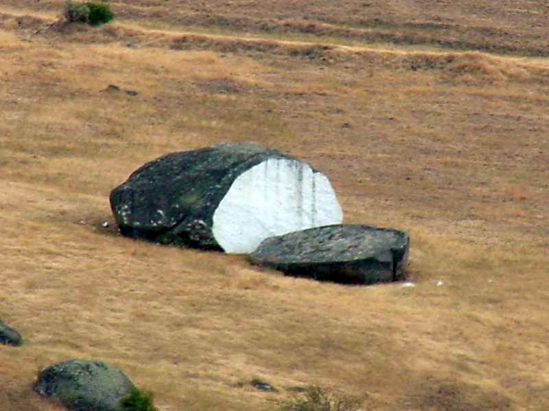
http://assets.sbnation.com/assets/410851/Bread_Loaf_Rock.jpg
http://lb.511.idaho.gov/idlb/cameras/camera.jsf%3Fid=13&view=state&text=m&textOnly=false
dbo:
wikiPageWikiLink
dbr
:Idaho
dbr
:United_States
dbr
:Rocky_Mountains
dbr
:Spring_(hydrology)
dbr
:Boise_County,_Idaho
dbr
:Horseshoe_Bend,_Idaho
dbr
:Mountain_pass
dbr
:Sea_level
dbr
:Boise,_Idaho
dbr
:Western_United_States
dbr
:Boise_River
dbr
:Payette_River
dbr
:White_Bird_Hill_Summit
dbr
:Elevation
dbr
:Southwestern_Idaho
dbr
:Idaho_State_Highway_55
dbr
:U.S._Route_95_in_Idaho
dbc
:Landforms_of_Boise_County,_Idaho
dbc
:Mountain_passes_of_Idaho
dbc
:Transportation_in_Boise_County,_Idaho
dbr
:Idaho_Panhandle
dbp:
elevationFt
4242
(xsd:integer)
dbp:
location
dbr
:United_States
dbr
:Boise_County,_Idaho
dbp:
mapCaption
Location in the United States##Location in Idaho
(en)
dbp:
name
Spring Valley Summit
(en)
dbp:
range
dbr
:Rocky_Mountains
Boise Range,
(en)
dbp:
wikiPageUsesTemplate
dbt
:Infobox_mountain_pass
dbt
:Convert
dbt
:Coord
dbt
:Jct
dbt
:Reflist
dbt
:BoiseCountyID-geo-stub
dct:
subject
dbc
:Landforms_of_Boise_County,_Idaho
dbc
:Mountain_passes_of_Idaho
dbc
:Transportation_in_Boise_County,_Idaho
gold:
hypernym
dbr
:Pass
georss:
point
43.836 -116.245
rdf:
type
owl
:Thing
dbo
:Place
dbo
:Place
dbo
:Location
dbo
:Location
wikidata
:Q133056
dbo
:MountainPass
dbo
:MountainPass
dbo
:MountainPass
dbo
:NaturalPlace
dbo
:NaturalPlace
schema
:Place
geo
:SpatialThing
rdfs:
label
Spring Valley Summit
(en)
owl:
sameAs
freebase
:Spring Valley Summit
yago-res
:Spring Valley Summit
wikidata
:Spring Valley Summit
dbpedia-global
:Spring Valley Summit
geo:
geometry
POINT(-116.24500274658 43.835998535156)
geo:
lat
43.835999
(xsd:float)
geo:
long
-116.245003
(xsd:float)
prov:
wasDerivedFrom
wikipedia-en
:Spring_Valley_Summit?oldid=1095968381&ns=0
foaf:
homepage
http://www.visitidaho.org
http://www.visitidaho.org
foaf:
isPrimaryTopicOf
wikipedia-en
:Spring_Valley_Summit
is
dbo:
wikiPageRedirects
of
dbr
:Horseshoe_Bend_Hill
dbr
:Horseshoe_Bend_Hill_Summit
is
dbo:
wikiPageWikiLink
of
dbr
:Horseshoe_Bend_Hill
dbr
:Horseshoe_Bend_Hill_Summit
dbr
:List_of_passes_of_the_Rocky_Mountains
dbr
:List_of_mountain_passes
dbr
:Idaho_State_Highway_55
is
foaf:
primaryTopic
of
wikipedia-en
:Spring_Valley_Summit
This content was extracted from
Wikipedia
and is licensed under the
Creative Commons Attribution-ShareAlike 4.0 International


