| dbo:abstract
|
- حريز قرية فلسطينية من قرى محافظة الخليل في الضفة الغربية، تقع على بعد سبعة كيلومترات جنوب شرق مدينة الخليل. تقع خدماتيًا ضمن بلدية زيف. (ar)
- Hureiz (àrab: حريز, Ḥurayz) és una vila palestina de la governació d'Hebron, a Cisjordània, situada 7 kilòmetres al sud-est d'Hebron. Segons l'Oficina Central Palestina d'Estadístiques tenia una població de 996 habitants el 2006. Les instal·lacions d'atenció primària de salut del poble es troben a Zif designades pel Ministeri de Salut com a nivell 1 i també a Yatta, nivell 3. (ca)
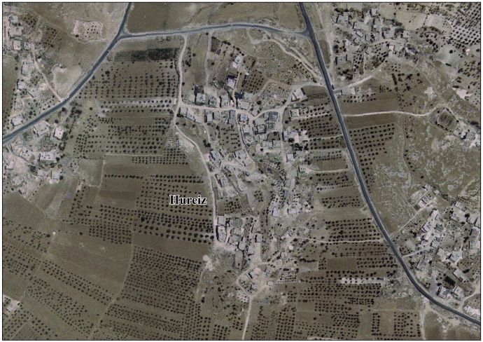
- Hureiz (Arabic: حريز) is a Palestinian village located seven kilometers south-east of Hebron. The village is in the Hebron Governorate Southern West Bank. According to the Palestinian Central Bureau of Statistics, the village had a population of 997 in mid-year 2006. The primary health care facilities for the village are at Zif designated by the Ministry of Health as level 1 and at Yatta, level 3. (en)
|
| dbo:country
| |
| dbo:governmentType
| |
| dbo:populationTotal
|
- 997 (xsd:nonNegativeInteger)
|
| dbo:subdivision
| |
| dbo:wikiPageExternalLink
| |
| dbo:wikiPageID
| |
| dbo:wikiPageLength
|
- 3282 (xsd:nonNegativeInteger)
|
| dbo:wikiPageRevisionID
| |
| dbo:wikiPageWikiLink
| |
| dbp:establishedTitle
| |
| dbp:governmentType
| |
| dbp:gridName
| |
| dbp:gridPosition
| |
| dbp:name
| |
| dbp:populationAsOf
| |
| dbp:populationDensityKm
| |
| dbp:populationTotal
| |
| dbp:pushpinMap
| |
| dbp:pushpinMapCaption
|
- Location of Hureiz within Palestine (en)
|
| dbp:subdivisionName
| |
| dbp:subdivisionType
| |
| dbp:translitLang
| |
| dbp:translitLang1Info
| |
| dbp:translitLang1Type
| |
| dbp:type
| |
| dbp:unitPref
| |
| dbp:wikiPageUsesTemplate
| |
| dcterms:subject
| |
| gold:hypernym
| |
| georss:point
|
- 31.47111111111111 35.13444444444445
|
| rdf:type
| |
| rdfs:comment
|
- حريز قرية فلسطينية من قرى محافظة الخليل في الضفة الغربية، تقع على بعد سبعة كيلومترات جنوب شرق مدينة الخليل. تقع خدماتيًا ضمن بلدية زيف. (ar)
- Hureiz (àrab: حريز, Ḥurayz) és una vila palestina de la governació d'Hebron, a Cisjordània, situada 7 kilòmetres al sud-est d'Hebron. Segons l'Oficina Central Palestina d'Estadístiques tenia una població de 996 habitants el 2006. Les instal·lacions d'atenció primària de salut del poble es troben a Zif designades pel Ministeri de Salut com a nivell 1 i també a Yatta, nivell 3. (ca)
- Hureiz (Arabic: حريز) is a Palestinian village located seven kilometers south-east of Hebron. The village is in the Hebron Governorate Southern West Bank. According to the Palestinian Central Bureau of Statistics, the village had a population of 997 in mid-year 2006. The primary health care facilities for the village are at Zif designated by the Ministry of Health as level 1 and at Yatta, level 3. (en)
|
| rdfs:label
|
- حريز (الخليل) (ar)
- Hureiz (ca)
- Hureiz (en)
|
| owl:sameAs
| |
| geo:geometry
|
- POINT(35.13444519043 31.471111297607)
|
| geo:lat
| |
| geo:long
| |
| prov:wasDerivedFrom
| |
| foaf:isPrimaryTopicOf
| |
| foaf:name
| |
| is dbo:wikiPageWikiLink
of | |
| is foaf:primaryTopic
of | |


