| dbo:abstract
|
- Empire Air Force Station is a former United States Air Force Aerospace Defense Command (ADC) long range radar site located 0.7 miles (1.1 km) south-southeast of Empire, Michigan, in Empire Township. It was closed in 1978 by the Air Force, and turned over to the Federal Aviation Administration (FAA). Today the site is part of the Joint Surveillance System (JSS), designated by NORAD as Northeast Air Defense Sector (NEADS) Ground Equipment Facility. (en)
|
| dbo:buildingEndDate
| |
| dbo:code
|
- ADC ID: P-34, NORAD ID: Z-34
- Current JSS ID: J-58
|
| dbo:location
| |
| dbo:thumbnail
| |
| dbo:wikiPageExternalLink
| |
| dbo:wikiPageID
| |
| dbo:wikiPageLength
|
- 8599 (xsd:nonNegativeInteger)
|
| dbo:wikiPageRevisionID
| |
| dbo:wikiPageWikiLink
| |
| dbp:bot
| |
| dbp:built
| |
| dbp:code
|
- ADC ID: P-34, NORAD ID: Z-34 (en)
- Current JSS ID: J-58 (en)
|
| dbp:condition
| |
| dbp:date
| |
| dbp:ensign
|
- Air Defense Command.png (en)
|
| dbp:ensignSize
| |
| dbp:garrison
| |
| dbp:name
|
- Empire Air Force Station (en)
|
| dbp:partof
| |
| dbp:pushpinLabel
| |
| dbp:pushpinMap
| |
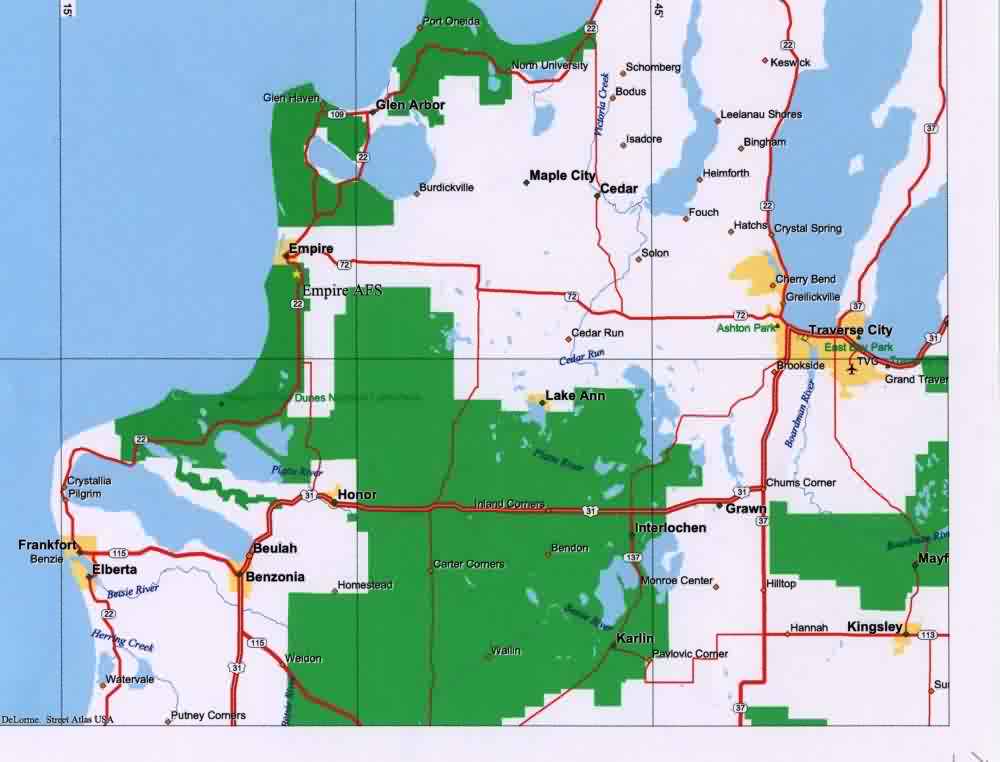
| dbp:pushpinMapCaption
|
- Location of Empire AFS, Michigan (en)
|
| dbp:pushpinMapsize
| |
| dbp:type
| |
| dbp:used
| |
| dbp:wikiPageUsesTemplate
| |
| dcterms:subject
| |
| gold:hypernym
| |
| georss:point
|
- 44.8025 -86.05305555555556
|
| rdf:type
| |
| rdfs:comment
|
- Empire Air Force Station is a former United States Air Force Aerospace Defense Command (ADC) long range radar site located 0.7 miles (1.1 km) south-southeast of Empire, Michigan, in Empire Township. It was closed in 1978 by the Air Force, and turned over to the Federal Aviation Administration (FAA). Today the site is part of the Joint Surveillance System (JSS), designated by NORAD as Northeast Air Defense Sector (NEADS) Ground Equipment Facility. (en)
|
| rdfs:label
|
- Empire Air Force Station (en)
|
| owl:sameAs
| |
| geo:geometry
|
- POINT(-86.05305480957 44.802501678467)
|
| geo:lat
| |
| geo:long
| |
| prov:wasDerivedFrom
| |
| foaf:depiction
| |
| foaf:isPrimaryTopicOf
| |
| foaf:name
|
- Empire Air Force Station (en)
|
| is dbo:wikiPageRedirects
of | |
| is dbo:wikiPageWikiLink
of | |
| is foaf:primaryTopic
of | |


