| dbo:abstract
|
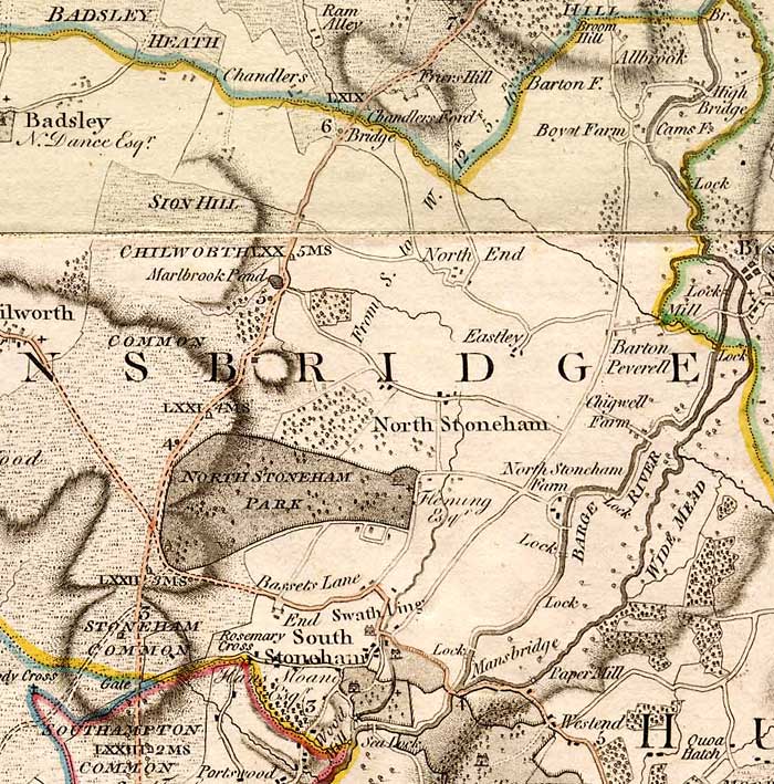
- Bassett Green is a suburb of Southampton, which has grown from the original small village of Basset. It remains part of the electoral ward of Bassett (q.v. for population). The area is mainly residential, with a mixture of Herbert Collins-designed houses and council built estates known as the Flowers Estate (or Flower Roads) and the Leaside Way Estate. Within Bassett Green are a community centre (on Honeysuckle Road), Bassett Green Primary School and Southampton Crematorium, as well as several of the University of Southampton's halls of residence. Neighbouring areas are Bassett to the west, North Stoneham to the north, Swaythling to the east & southeast, and Highfield to the southwest. Bassett Green is divided between two ecclesiastical parishes: North Stoneham & Bassett and Swaythling. (en)
|
| dbo:areaCode
| |
| dbo:ceremonialCounty
| |
| dbo:country
| |
| dbo:postalCode
| |
| dbo:thumbnail
| |
| dbo:wikiPageExternalLink
| |
| dbo:wikiPageID
| |
| dbo:wikiPageLength
|
- 5771 (xsd:nonNegativeInteger)
|
| dbo:wikiPageRevisionID
| |
| dbo:wikiPageWikiLink
| |
| dbp:centre
| |
| dbp:constituencyWestminster
| |
| dbp:country
| |
| dbp:dialCode
| |
| dbp:east
| |
| dbp:lieutenancyEngland
| |
| dbp:mapType
| |
| dbp:north
| |
| dbp:northwest
| |
| dbp:officialName
| |
| dbp:postTown
| |
| dbp:postcodeArea
| |
| dbp:postcodeDistrict
| |
| dbp:region
| |
| dbp:south
| |
| dbp:southeast
| |
| dbp:southwest
| |
| dbp:staticImage
|
- Bassett Green, Stoneham Arms.jpg (en)
|
| dbp:staticImageCaption
|
- The Stoneham Arms pub, now converted to a convenience store (en)
|
| dbp:unitaryEngland
| |
| dbp:west
| |
| dbp:wikiPageUsesTemplate
| |
| dcterms:subject
| |
| gold:hypernym
| |
| georss:point
| |
| rdf:type
| |
| rdfs:comment
|
- Bassett Green is a suburb of Southampton, which has grown from the original small village of Basset. It remains part of the electoral ward of Bassett (q.v. for population). The area is mainly residential, with a mixture of Herbert Collins-designed houses and council built estates known as the Flowers Estate (or Flower Roads) and the Leaside Way Estate. Within Bassett Green are a community centre (on Honeysuckle Road), Bassett Green Primary School and Southampton Crematorium, as well as several of the University of Southampton's halls of residence. (en)
|
| rdfs:label
| |
| owl:sameAs
| |
| geo:geometry
|
- POINT(-1.3899999856949 50.939998626709)
|
| geo:lat
| |
| geo:long
| |
| prov:wasDerivedFrom
| |
| foaf:depiction
| |
| foaf:isPrimaryTopicOf
| |
| foaf:name
| |
| is dbo:wikiPageDisambiguates
of | |
| is dbo:wikiPageRedirects
of | |
| is dbo:wikiPageWikiLink
of | |
| is dbp:east
of | |
| is dbp:north
of | |
| is dbp:northwest
of | |
| is foaf:primaryTopic
of | |


