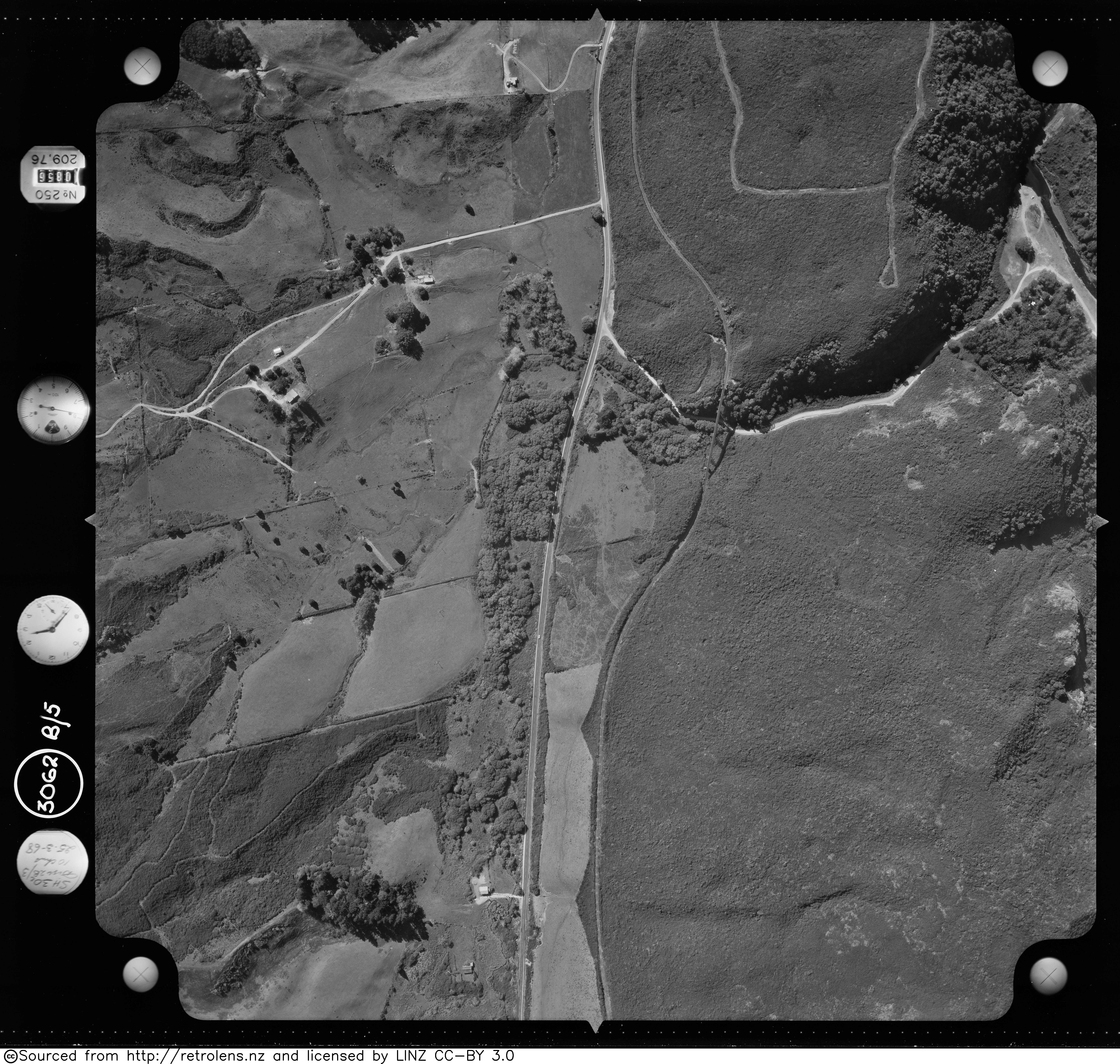
Waiteti (sometimes named Waititi) was a passing loop on the North Island Main Trunk railway (NIMT) in New Zealand, built in 1939 to relieve congestion along a single track block, where the line rises steeply from Te Kuiti on a 1 in 70 gradient for 7 mi (11 km), including curves of 8 ch (160 m) to 20 ch (400 m) radius. It was 470.07 km (292.09 mi) from Wellington. From its opening it was under central control from Te Kuiti signalbox. The loop could hold 100 4-wheeled wagons. Waiteti translates to water dripping from the ground. The station was in the valley of the Waiteti Stream.
| Attributes | Values |
|---|---|
| rdf:type | |
| rdfs:label |
|
| rdfs:comment |
|
| foaf:name |
|
| name |
|
| geo:lat |
|
| geo:long |
|
| foaf:depiction | |
| dcterms:subject | |
| Wikipage page ID |
|
| Wikipage revision ID |
|
| Link from a Wikipage to another Wikipage |
|
| Link from a Wikipage to an external page | |
| sameAs | |
| dbp:wikiPageUsesTemplate | |
| thumbnail | |
| Closed |
|
| country |
|
| distance |
|
| electrified |
|
| image caption |
|
| line | |
| opened |
|
| georss:point |
|
| has abstract |
|
| prov:wasDerivedFrom | |
| page length (characters) of wiki page |
|
| closing year |
|
| opening year |
|
| year of electrification |
|
| serving railway line | |
| foaf:isPrimaryTopicOf | |
| geo:geometry |
|
| is Link from a Wikipage to another Wikipage of | |
| is foaf:primaryTopic of |
Faceted Search & Find service v1.17_git139 as of Feb 29 2024


![[RDF Data]](/fct/images/sw-rdf-blue.png)

OpenLink Virtuoso version 08.03.3330 as of Mar 19 2024, on Linux (x86_64-generic-linux-glibc212), Single-Server Edition (62 GB total memory, 54 GB memory in use)
Data on this page belongs to its respective rights holders.
Virtuoso Faceted Browser Copyright © 2009-2024 OpenLink Software


![[RDF Data]](/fct/images/sw-rdf-blue.png)
OpenLink Virtuoso version 08.03.3330 as of Mar 19 2024, on Linux (x86_64-generic-linux-glibc212), Single-Server Edition (62 GB total memory, 54 GB memory in use)
Data on this page belongs to its respective rights holders.
Virtuoso Faceted Browser Copyright © 2009-2024 OpenLink Software


![[cxml]](/fct/images/cxml_doc.png)
![[csv]](/fct/images/csv_doc.png)
![[text]](/fct/images/ntriples_doc.png)
![[turtle]](/fct/images/n3turtle_doc.png)
![[ld+json]](/fct/images/jsonld_doc.png)
![[rdf+json]](/fct/images/json_doc.png)
![[rdf+xml]](/fct/images/xml_doc.png)
![[atom+xml]](/fct/images/atom_doc.png)
![[html]](/fct/images/html_doc.png)