About: Malika Parbat Goto Sponge NotDistinct Permalink
An Entity of Type : umbel-rc:Mountain,
within Data Space : dbpedia.org associated with source document(s)

![http://dbpedia.org/describe/?url=http%3A%2F%2Fdbpedia.org%2Fresource%2FMalika_Parbat]()

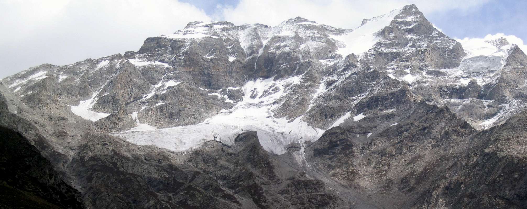
Malika Parbat (Pashto/Urdu: ملکہ پربت; Queen of the Mountains) (el. 5,290 metres (17,360 ft)) is the highest peak in Kaghan Valley, Khyber Pakhtunkhwa, Pakistan. It is about 6 kilometres (3.7 mi) south of Lake Saiful Muluk, near Ansoo Lake.
| Attributes | Values |
|---|---|
| rdf:type |
|
| rdfs:label |
|
| rdfs:comment |
|
| foaf:name |
|
| name |
|
| geo:lat |
|
| geo:long |
|
| foaf:depiction | |
| dcterms:subject | |
| Wikipage page ID |
|
| Wikipage revision ID |
|
| Link from a Wikipage to another Wikipage | |
| Link from a Wikipage to an external page | |
| sameAs | |
| dbp:wikiPageUsesTemplate | |
| thumbnail | |
| date |
|
| elevation m |
|
| label position |
|
| location | |
| photo |
|
| photo caption |
|
| range | |
| reason |
|
| georss:point |
|
| has abstract |
|
| coordinates ref | |
| first ascent |
|
| gold:hypernym | |
| dbp:wordnet_type | |
| year of first ascent |
|
| prov:wasDerivedFrom | |
| page length (characters) of wiki page |
|
| elevation (μ) |
|
| located in area | |
| mountain range | |
| foaf:isPrimaryTopicOf | |
| geo:geometry |
|
| is Link from a Wikipage to another Wikipage of |
Faceted Search & Find service v1.17_git139 as of Feb 29 2024


![[RDF Data]](/fct/images/sw-rdf-blue.png)

OpenLink Virtuoso version 08.03.3330 as of Mar 19 2024, on Linux (x86_64-generic-linux-glibc212), Single-Server Edition (61 GB total memory, 49 GB memory in use)
Data on this page belongs to its respective rights holders.
Virtuoso Faceted Browser Copyright © 2009-2024 OpenLink Software


![[RDF Data]](/fct/images/sw-rdf-blue.png)
OpenLink Virtuoso version 08.03.3330 as of Mar 19 2024, on Linux (x86_64-generic-linux-glibc212), Single-Server Edition (61 GB total memory, 49 GB memory in use)
Data on this page belongs to its respective rights holders.
Virtuoso Faceted Browser Copyright © 2009-2024 OpenLink Software


![[cxml]](/fct/images/cxml_doc.png)
![[csv]](/fct/images/csv_doc.png)
![[text]](/fct/images/ntriples_doc.png)
![[turtle]](/fct/images/n3turtle_doc.png)
![[ld+json]](/fct/images/jsonld_doc.png)
![[rdf+json]](/fct/images/json_doc.png)
![[rdf+xml]](/fct/images/xml_doc.png)
![[atom+xml]](/fct/images/atom_doc.png)
![[html]](/fct/images/html_doc.png)