About: Za'atara Goto Sponge NotDistinct Permalink
An Entity of Type : yago:UrbanArea108675967,
within Data Space : dbpedia.org associated with source document(s)

![http://dbpedia.org/describe/?url=http%3A%2F%2Fdbpedia.org%2Fresource%2FZa%27atara&graph=http%3A%2F%2Fdbpedia.org&graph=http%3A%2F%2Fdbpedia.org]()

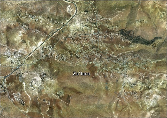
Za'atara (Arabic: زعترة) is a Palestinian town located 11 km (6.8 mi) southeast of Bethlehem. The town is in the Bethlehem Governorate central West Bank. According to the Palestinian Central Bureau of Statistics, the town had a population of over 6,289 in 2007.
Faceted Search & Find service v1.17_git139 as of Feb 29 2024


![[RDF Data]](/fct/images/sw-rdf-blue.png)

OpenLink Virtuoso version 08.03.3331 as of Sep 2 2024, on Linux (x86_64-generic-linux-glibc212), Single-Server Edition (62 GB total memory, 38 GB memory in use)
Data on this page belongs to its respective rights holders.
Virtuoso Faceted Browser Copyright © 2009-2024 OpenLink Software


![[RDF Data]](/fct/images/sw-rdf-blue.png)
OpenLink Virtuoso version 08.03.3331 as of Sep 2 2024, on Linux (x86_64-generic-linux-glibc212), Single-Server Edition (62 GB total memory, 38 GB memory in use)
Data on this page belongs to its respective rights holders.
Virtuoso Faceted Browser Copyright © 2009-2024 OpenLink Software


![[cxml]](/fct/images/cxml_doc.png)
![[csv]](/fct/images/csv_doc.png)
![[text]](/fct/images/ntriples_doc.png)
![[turtle]](/fct/images/n3turtle_doc.png)
![[ld+json]](/fct/images/jsonld_doc.png)
![[rdf+json]](/fct/images/json_doc.png)
![[rdf+xml]](/fct/images/xml_doc.png)
![[atom+xml]](/fct/images/atom_doc.png)
![[html]](/fct/images/html_doc.png)