This HTML5 document contains 140 embedded RDF statements represented using HTML+Microdata notation.
The embedded RDF content will be recognized by any processor of HTML5 Microdata.
| Prefix | IRI |
|---|---|
| n25 | http://dbpedia.org/ontology/PopulatedPlace/ |
| dcterms | http://purl.org/dc/terms/ |
| yago-res | http://yago-knowledge.org/resource/ |
| dbo | http://dbpedia.org/ontology/ |
| foaf | http://xmlns.com/foaf/0.1/ |
| dbpedia-ca | http://ca.dbpedia.org/resource/ |
| geo | http://www.w3.org/2003/01/geo/wgs84_pos# |
| dbpedia-es | http://es.dbpedia.org/resource/ |
| n37 | https://global.dbpedia.org/id/ |
| dbpedia-tr | http://tr.dbpedia.org/resource/ |
| n33 | http://www.unrwa.org/ |
| dbpedia-he | http://he.dbpedia.org/resource/ |
| yago | http://dbpedia.org/class/yago/ |
| schema | http://schema.org/ |
| dbt | http://dbpedia.org/resource/Template: |
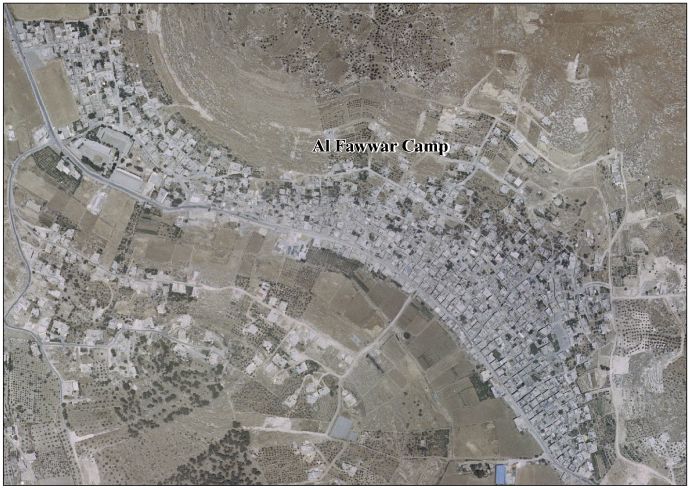
| n24 | http://www.palestineremembered.com/GeoPoints/al_Fawwar_R_C__2096/ |
| rdfs | http://www.w3.org/2000/01/rdf-schema# |
| freebase | http://rdf.freebase.com/ns/ |
| dbpedia-pl | http://pl.dbpedia.org/resource/ |
| n15 | http://vprofile.arij.org/hebron/pdfs/needsfordevelopment/ |
| dbpedia-fa | http://fa.dbpedia.org/resource/ |
| n13 | http://vprofile.arij.org/hebron/pdfs/ |
| n22 | http://commons.wikimedia.org/wiki/Special:FilePath/ |
| rdf | http://www.w3.org/1999/02/22-rdf-syntax-ns# |
| dbpedia-ar | http://ar.dbpedia.org/resource/ |
| owl | http://www.w3.org/2002/07/owl# |
| dbpedia-fr | http://fr.dbpedia.org/resource/ |
| wikipedia-en | http://en.wikipedia.org/wiki/ |
| dbp | http://dbpedia.org/property/ |
| dbc | http://dbpedia.org/resource/Category: |
| prov | http://www.w3.org/ns/prov# |
| xsdh | http://www.w3.org/2001/XMLSchema# |
| dbpedia-id | http://id.dbpedia.org/resource/ |
| n12 | http://vprofile.arij.org/hebron/images/ |
| gold | http://purl.org/linguistics/gold/ |
| wikidata | http://www.wikidata.org/entity/ |
| dbr | http://dbpedia.org/resource/ |
| georss | http://www.georss.org/georss/ |